
Page 14 - John Barber's Oakham Castle and its archaeology
P. 14
8
Neolithic or Bronze Age flint picked up by chance in gardens, allotments or fields in the vicinity of Oakham.
9
Mr Ralegh Radford has surmised that the earliest occupation of the site was a late Saxon Burh,
encompassed one would imagine by the modern Burley Road on the east, High Street on the south, Church
Street on the west, and Station Road on the north. Within this area stand both the Church and the Castle,
occupying probably the highest ground in this part of the Vale of Catmose, if one can imagine them standing in
10
isolation before the subsequent growth of the town around them.
Para 3: The principal building that now survives of the whole Castle complex, as set out in the 1340 inquisition
quoted in Para 1, is of course the fine Norman aisled hall dating from about 1180-90, but remnants of the outer
bank of the bailey and the curtain wall that stood upon it, the fish stews to the north of the inner enclosure, and
banks surrounding the outer enclosure (now known as Cutt’s Close) are also to be seen. In addition there are
numerous humps and hollows within the sub-circular bailey, which in fact comprises about three and a third
acres, and these must surely be evidence of some of those places listed in the inquisition.
It might perhaps serve my purpose best if I named each of the principal items so listed and commented upon
them one by one (in the exact order listed) in the light of what is now known about them, at any rate from my
own enquiries and observation.
Para 4: ‘THERE IS AT OAKHAM A CASTLE WELL WALLED…’
We must be quite clear that the castle described in the inquisition was the castle of the mid-fourteenth century.
But that does not mean that this castle (perhaps fortified manor house might be a happier description) was the
earliest castle. Indeed Mr Ralegh Radford has shown (in my opinion most conclusively) that an earlier motte
and bailey castle stood in the south-east corner of the present enclosure. Parts of the bailey are still to be seen,
whilst the surrounding bank of a later date has incorporated the motte into its circuit at this point. This would
account for the extra height of the bank here. Moreover there is evidence that the outer part of the motte was cut
away, presumably to make room for the moat, and the remaining section revetted with a stone wall to prevent
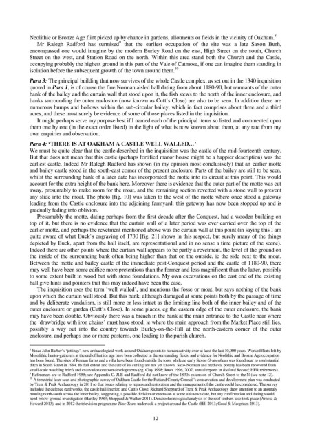
any slide into the moat. The photo [fig. 10] was taken to the west of the motte where once stood a gateway
leading from the Castle enclosure into the adjoining farmyard: this gateway has now been stopped up and is
gradually fading into oblivion.
Presumably the motte, dating perhaps from the first decade after the Conquest, had a wooden building on
top of it, but there is no evidence that the curtain wall of a later period was ever carried over the top of the
earlier motte, and perhaps the revetment mentioned above was the curtain wall at this point (in saying this I am
quite aware of what Buck’s engraving of 1730 [fig. 21] shows in this respect, but surely many of the things
depicted by Buck, apart from the hall itself, are representational and in no sense a time picture of the scene).
Indeed there are other points where the curtain wall appears to be partly a revetment, the level of the ground on
the inside of the surrounding bank often being higher than that on the outside, ie the side next to the moat.
Between the motte and bailey castle of the immediate post-Conquest period and the castle of 1180-90, there
may well have been some edifice more pretentious than the former and less magnificent than the latter, possibly
to some extent built in wood but with stone foundations. My own excavations on the east end of the existing
hall give hints and pointers that this may indeed have been the case.
The inquisition uses the term ‘well walled’, and mentions the fosse or moat, but says nothing of the bank
upon which the curtain wall stood. But this bank, although damaged at some points both by the passage of time
and by deliberate vandalism, is still more or less intact as the limiting line both of the inner bailey and of the
outer enclosure or garden (Cutt’s Close). In some places, eg the eastern edge of the outer enclosure, the bank
may have been double. Obviously there was a breach in the bank at the main entrance to the Castle near where
the ‘drawbridge with iron chains’ must have stood, ie where the main approach from the Market Place still lies,
possibly a way out into the country towards Burley-on-the-Hill at the north-eastern corner of the outer
enclosure, and perhaps one or more posterns, one leading to the parish church.
8 Since John Barber’s ‘jottings’, new archaeological work around Oakham points to human activity over at least the last 10,000 years. Worked flints left by
Mesolithic hunter-gatherers at the end of last ice age have been collected in the surrounding fields, and evidence for Neolithic and Bronze Age occupation
has been found. The sites of Roman farms and a villa have been found outside the town while an early Saxon Grubenhaus was found near to a substantial
ditch in South Street in 1994. Its full extent and the date of its cutting are not yet known. Saxo-Norman and medieval pottery has been recovered from
small-scale watching briefs and excavation on town developments (eg, Clay 1998; Jones 1996, 2007; annual reports in Rutland Record; HER references).
9 References are to Radford 1955; see Appendix C. JLB and Radford did not know of the 1830s extension of Church Street to the N (see note 12).
10
A terrestrial laser scan and photographic survey of Oakham Castle for the Rutland County Council’s conservation and development plan was conducted
by Trent & Peak Archaeology in 2011 so that issues relating to repairs and restoration and the management of the castle could be considered. The survey
included the defence earthworks, the castle hall interior, and Cutt’s Close. Richard Sheppard of Trent & Peak Archaeology drew attention to an anomaly
running north-south across the inner bailey, suggesting, a possible division or extension at some unknown date, but any confirmation and dating would
need below-ground investigation (Hartley 1983; Sheppard & Walker 2011). Dendrochronological analysis of the roof timbers also took place (Arnold &
Howard 2013), and in 2012 the television programme Time Team undertook a project around the Castle (Hill 2013; Good & Meopham 2013).
12